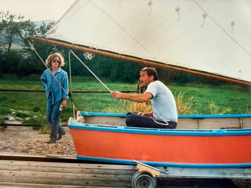
Photos by John Stember
How many single city blocks do you know that have harbored bakers, jewelers, junk dealers, booksellers, auto mechanics, candy makers, record sellers, luthiers, chefs, cobblers, ballerinas, hoteliers, brewmasters, stenographers, antiquarians, stone masons, grocers, landlords, fly-tiers, knitters, journalists, bartenders, pump jockeys, soda jerks, caterers, conductors, dieticians, model agents, shirt printers, radio engineers, preachers, fluvial geomorphologists, accountants, leatherworkers, hang-gliding instructors, typewriter repairmen, importers, herbalists, projectionists, neon glass benders, barbers, cash register dealers, TV repairmen, diaper cleaners, photographers, used-car salesmen, drug dealers, martial arts senseis, peace activists, and sensory deprivation tank therapists?
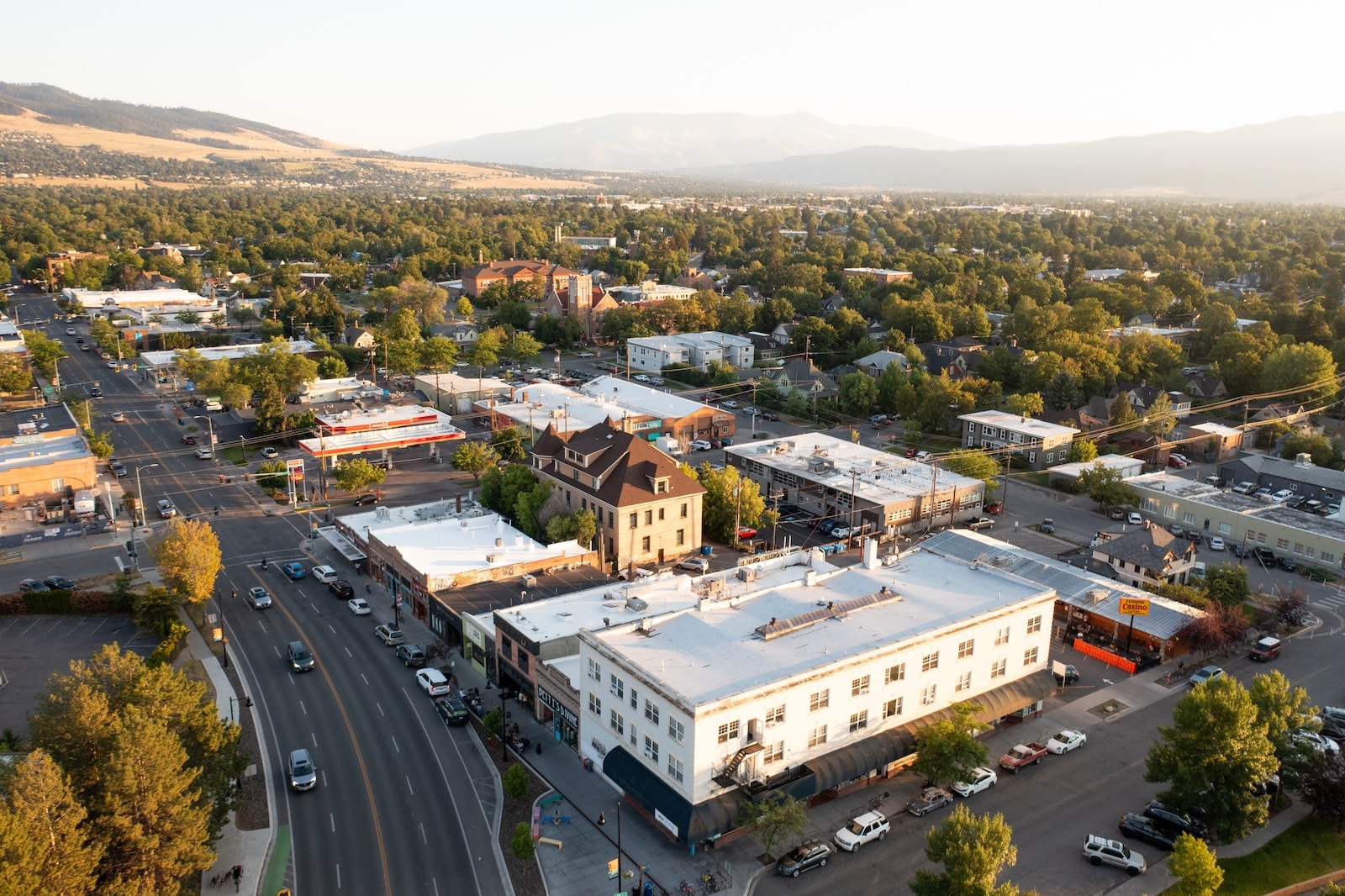
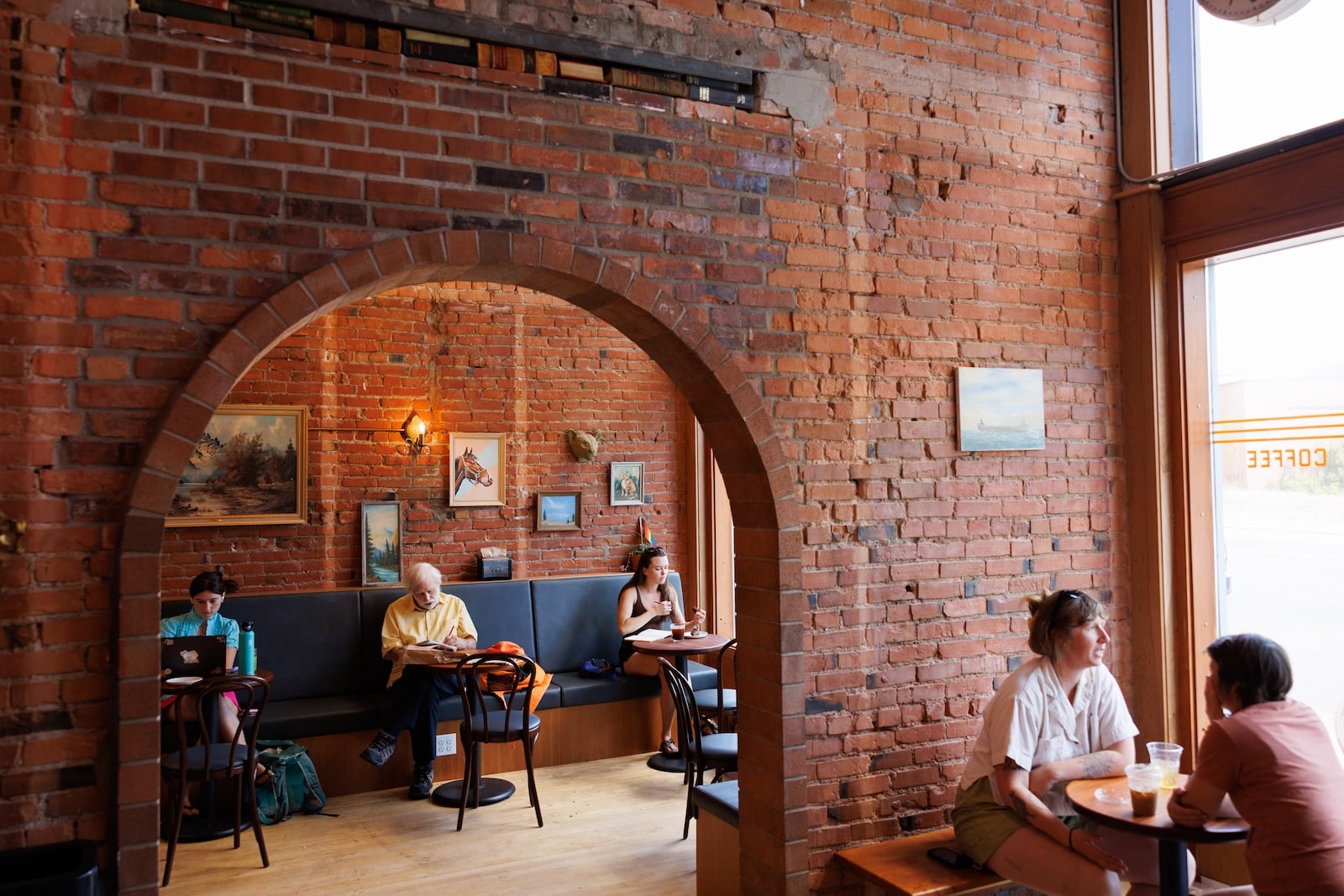
To say the block bounded by South Higgins Avenue, South Third Street West, Myrtle Street and South Fourth Street West contains multitudes beggars Walt Whitman’s poem, although he’d probably line up for an apartment there. A better comparison might be a kaleidoscope, whose colored chips configure new designs with every turn of the tube. It’s a whole city compressed into 174,240 square feet.
“It had the secret sauce,” recalled Tim Hall, who owned the Sports Exchange on Third Street for several years and also worked in the Missoula County Office of Planning and Grants. “It was fun to run a shop there, because it still had the magic. It was also not that shiny. It was rougher around the edges. I think that lended to the appeal.”
“It had the secret sauce. It was fun to run a shop there, because it still had the magic. It was also not that shiny. It was rougher around the edges.”
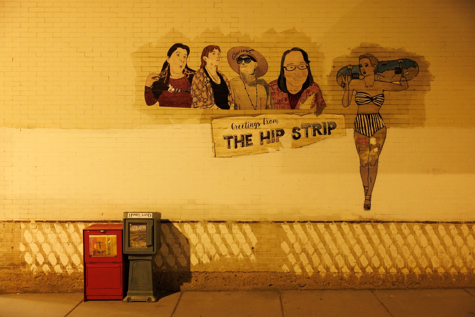
Missoulians call it the “Hip Strip.” But even that name dates back just a half-century. The block at the south end of the bridge has been in constant churn since Missoula’s 19th century origins.
I observed all this as a cub reporter in the nearly new Missoulian building at 500 S. Higgins in 1987. As a cops-and-courts intern, I would walk out and turn right to the Higgins Avenue (now Beartracks) Bridge, cross the Clark Fork River and find all there was to know in the downtown milieu of county courthouse, city hall, police department, and central fire station.
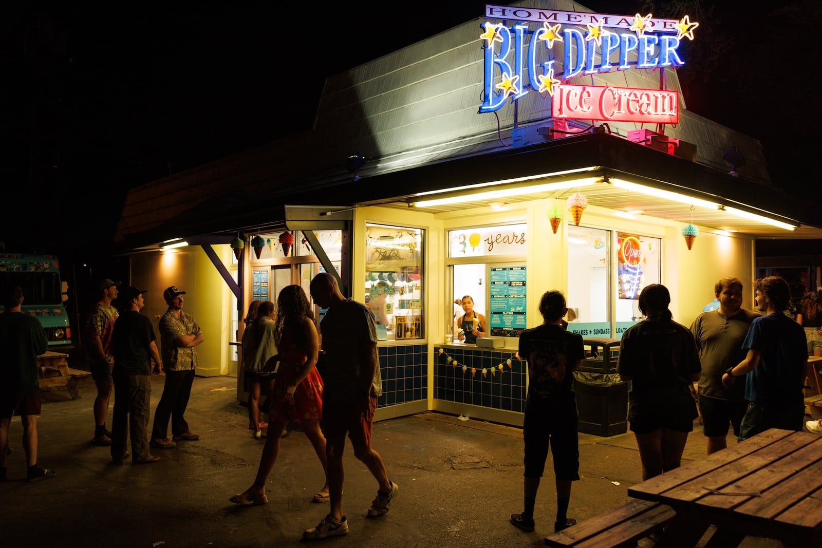
Before I even stepped on the bridge, I had to pass the sirens of the Hip Strip. Was a Hansen’s ice cream cone needed to fend off the summer heat? What record might Bruce Micklus suggest to rent for $2 a day from his vinyl archive at Rockin’ Rudy’s? Did I need my bike fixed at Open Road, or a guitar from Bitterroot Musical Instruments, or who knows what at Snow’s Motorcycles, Tapes, Records and Used Books?
A city leader once complained to a Missoulian publisher: “Don’t your reporters know how to turn left?” He referred not to political ideology but geography. We always pulled out of our Fourth Avenue parking lot and turned right toward North Higgins and Downtown. We rarely went left down South Higgins and the neglected mass of urban gravity around Holiday Village and Southgate Mall.
All of Missoula’s first suburb germinated from that jumble at the end of the bridge. While the rest of Missoula was quickly stratifying into homogenized business, industrial and residential districts, the little block mimicked metropolitan complexity with fractal faithfulness.
Former Missoula Mayor Dan Kemmis, whose scholarly publications include “The Good City and The Good Life,” called it a “unicorn block.”
“It’s different from any other train station neighborhood,” Kemmis said. “I’ve got nothing coming directly to mind about other examples. And it’s made even more so with the establishment of the Hip Strip cultural phenomenon. If a city is made up of neighborhoods, with unique characteristics of their own, [that block] certainly deserves to be called a neighborhood.”
The definition of a neighborhood varies. In the dictionary, it vaguely means the small group of homes around the one where you grew up. It could be defined by some social label, such as the “Catholic neighborhood” or the “University District.” It could be a political ward or a census tract. Physical structures often imply boundaries, such as railroad tracks that set off Missoula’s Northside/Westside neighborhood (north of the Northern Pacific rail yard, west of Orange Street freeway exit). The South Hills sprawl across the slopes of Mount Dean Stone along Missoula’s southern rim.
Size doesn’t seem to matter. East Missoula runs almost 2 miles along the base of Mount Jumbo to Marshall Canyon. The next 2-mile stretch east of Marshall Canyon packs together West Riverside, Milltown, Bonner and Piltzville, and heaven help the ignorant generalist who tells any of those residents they live in East Missoula.
The “unicorn block” at the south end of Beartracks Bridge covers about four acres – a blip in Missoula’s 25,000-acre bloat. And yet it has hosted every element of a major city, from single-family homes to a transcontinental transportation terminal.
Railroads don’t seek the shortest distance between two points so much as the easiest. Competing for freight and passengers, the Northern Pacific and Milwaukee Road laid tracks on either side of the Clark Fork River. With the advantage of a decade’s head start, the NP claimed Downtown’s northern fringe for its Renaissance Revival-style depot, steam-engine railyard and rowdy collection of warehouses, hotels and bars. A dowager acquaintance of mine liked to remark that in her youth, “a lady didn’t go north of Broadway.”
The Milwaukee put its electrified freight yard at the southern base of the Higgins Avenue Bridge in 1910, just above the high-water line of the then-Missoula River. Its Spanish Mission-style depot was landmarked with an observation tower that is still one of Missoula’s tallest structures. From its top windows, one can just see over the buildings lining South Higgins Avenue, on the bluff fifty feet above the riverbank.
A winding road still takes wanderers from the terminal across an irrigation ditch and up the bluff to South Third Street West, where the Penwell Building stands. Originally the Penwell Hotel and Café, the building also provided sidewalk-level space for a range of travel-oriented businesses. A post card mailed from there to Detroit in 1911 contained a prototype of today’s idle phone text: “Arrived in Missoula safely. Having pleasant trip. 2 hours to wait. M.R.”
While the rest of Missoula was quickly stratifying into homogenized business, industrial and residential districts, the little block mimicked metropolitan complexity with fractal faithfulness.
Ice cream was available around the corner at 519 Higgins Avenue, but it was provided by Herrick, not Hansen. There were two cobblers fixing shoes, two clothing cleaners, a grocery store, pastries from the Royal Bakery and milk to dunk them in at Consolidated Dairies. Around the corner on Fourth Avenue, Continental Oil, Shell Oil, H.O. Bell Autos and Petrie Tractor kept the internal combustion market competitive, separated by yet another cleaner, a meat shop and the home of future Missoula Mayor and Montana Lt. Governor George Turman. Looming over them all was the turret of the Garden City Commercial College.
The rest of the Missoula Valley south of its namesake river at the turn of the 20th century resembled a poor gardener’s vegetable patch, with splotches of growth sprouting out of otherwise vacant space. The University of Montana campus at the foot of Mount Sentinel was practically another town, Main Hall standing a mile away from the Downtown courthouse. Fort Missoula was three and a half miles down the boulevard that William Stephens assumed would be the backbone of the future urban body when he platted it in the 1880s. He was frustrated by Judge Hiram Knowles, who anchored his riverside neighborhood by compass points and left Stephens’ streets slanted by 45 degrees.


Development roared in the ’20s, however. Two huge folders lie on a counter in the Missoula Public Library’s reference section. They hold the tattered remains of a 1921 Sanborn Map of Missoula. Designed for insurance companies, they offer a remarkably detailed look at what was going on in every address of every block.
For example, the library map shows 519 South Higgins Avenue held Herrick’s Famous Candy Factory. Its postage stamp-sized outline of the building indicated the locations of two kettles for cooking candy, a five-ton ice machine, and the ice cream concocting area in the rear of the property. It confirms the business had electric power and lights, as well as steam heat. The business college property at 513 S. Higgins has a notation: “walls crumbling.”
That business college was an annex of the Garden City Commercial College around the corner on South Fourth Street West. It competed for students with the University of Montana up-river. Missoula’s municipal founders knew institutions of higher learning diversified a local economy. So they spread their bets.
In 1893, the same year that UM was authorized by the Montana Legislature, newcomer Edward Reitz opened a private night school for penmanship and secretarial skills in Missoula. Within the year, he had moved into an office in Downtown’s First National Bank building with his Garden City Commercial College and Shorthand Academy. Enrollment grew, and in 1902 Reitz announced plans for a three-story college building on five lots he’d bought in the Knowles Addition along Fourth Street, on the south end of the Higgins Avenue Bridge.
Three years later, the Garden City Commercial College opened its classroom doors. Missoula architect A.J. Gibson designed it. He also put his stamp on the Penwell Building on the opposite side of the block.
Reitz’ school was so successful that when the great flood of 1908 tore out the Higgins Avenue Bridge, he was financially stable enough to lead the campaign to raise $9,000 for a temporary span to reconnect the city nodes.
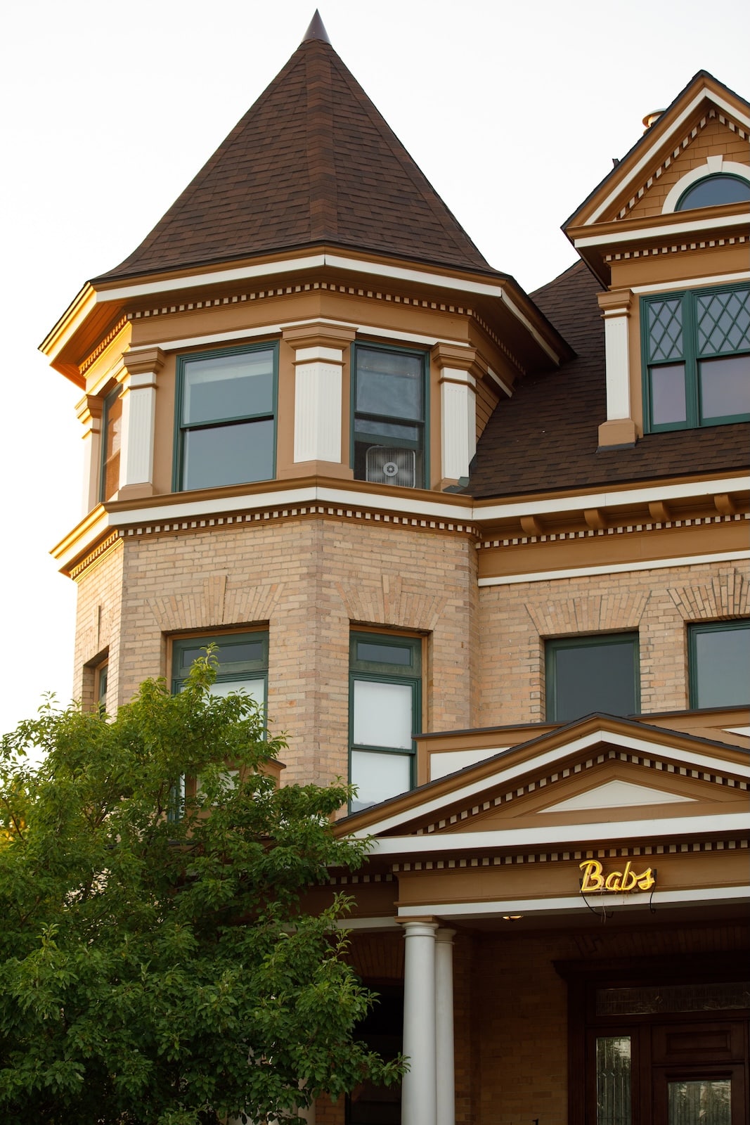
However, Reitz soon faded from public memory. His wife Laura died in 1913. The school continued there until 1929, when it was converted to private apartments. Today, it’s the condominium known as “The Babs,” a nickname it picked up in the 1940s attributed to subsequent owner Jerry Aasheim’s daughter.
The neighborhood had other educational outlets. A School of Dancing appeared on the 1921 map at 208 South Third, on the bench above the train station. It moved around the corner onto Myrtle Street after World War II and stayed active through the 1960s.


One odd feature of Missoula’s evolution is the lack of a commercial strip around the University of Montana campus. Most college towns have a well-defined street of restaurants, bars, bookstores, and similar student-oriented businesses adjacent to the academic boundary. But except for the Chimney Corner building at Arthur and Daly avenues, UM has none. Campus dwellers have to cross the river at the Van Buren Street Footbridge to the Eastgate Shopping Center, or trek west through the upper-crust homes of the University District neighborhood to Higgins Avenue’s shopping district. And much of that was originally concentrated between Third and Fourth streets.
And we’re only just now getting to the hippie era. That historically started about 1970, when a group of entrepreneurial beatniks decided to cash in on the groove.
That year, 6-foot-9 John Anderson helped occupy the ROTC office on the UM campus as a Vietnam War protest against the Kent State killings. A few months later, he opened Rishashay import store on the north end of Higgins. Then he joined a group of a dozen friends who decided to make a living on the south side of the river at 515 South Higgins, including Doug Bieri, Linda Bennett, Scott Laisy, Dave McEwen and Shirley Juhl.
Juhl told Missoulian reporter Joe Nickell, “We called it the Butterfly Building because it was an ugly caterpillar and we made it into a beautiful butterfly.” Anderson teamed with Bruce Lee to open Butterfly Herbs, which reportedly had the first espresso machine in the entire state of Montana. It was also the only place to buy whole-bean coffee.
Exactly how the area became the Hip Strip may involve lots of spilled pitchers of beers and pots of tea. But one version traces it to a “Name the Block” contest the Butterfly Building cohort held on Sept. 30, 1978, with a $110 prize on offer. The winning entry was “Hippie Strip,” which later mutated to “Hip Strip.”

Michael Shelhamer opened Crystal’s Theatre. His father ran the Mann Tri-Plex and State Drive-In theaters. Crystal was the name of Shelhamer’s dog. It eventually became just “the Crystal.” Juhl and three other women opened the Gilded Lily restaurant in a former three-bedroom apartment upstairs. That went through numerous permutations including The Lily, Silk Road and The Bridge Bistro, before Juhl and Dave McEwan moved the Bridge Pizza and the Crystal Video diagonally across Higgins and Fourth, and turned 515 Higgins into Gild Brewing.
Scott Sproull ran out of gas at age 19 in Missoula, didn’t consider himself a hippie but was accepted on the Hip Strip. He worked at the leather business there until 1975, when he bought it for $3,000. That eventually became Hide and Sole, which Sproull later moved across the bridge to North Higgins. Butterfly Herbs moved as well, and the two businesses led some to consider their conjoined shops a new “Butterfly Building.”
We know a lot of this because not one, but two journalism enterprises orbited the block. The Missoulian redeveloped 500 S. Higgins in 1985, replacing the H.O. Bell used car lot. The Missoula Independent weekly opened in 1991 and a year later moved into the building at Fourth and Myrtle. The Missoulian eventually bought the Indy in 2017 and closed it a year later. In between those years, the two newspapers focused lots of attention on the goings-on of their shared strip.
The final ingredient that made the Hip Strip literally come alive was the presence of full-time residents. Squished between all the businesses were a handful of private, freestanding homes. The Penwell Building’s upstairs hotel rooms morphed into the Montaigne Apartments, harboring a dozen or so renters who wove themselves into the street life.
A 2011 Missoulian story by Jamie Kelly with photo by Michael Gallacher introduced Shannon Kemp, a 28-year-old North Carolina native who moved to Missoula on a whim of wanderlust and rented a Montaigne apartment over the phone.

“The Montaignes aren’t just Kemp’s little place to crash,” Kelly wrote. “They’re also where she works. Not long after moving in last summer, she began working at Carlo’s One Night Stand, the quirky costume shop on the ground floor, which it shares with numerous other local shops. She also has part-time jobs at Bathing Beauties and Shakespeare & Company bookstore, which also occupy the ground floor. Almost all of Kemp’s life is lived in a six-block radius, with a hipster pad as its core.”
Zach Ford owns the Sports Exchange, which has been dealing outdoor and athletic gear under one name or another for four decades. He recalled how its original owner was always loaning his equipment to buddies until his wife told him to set up a shop in 1984. He allegedly became the first Burton snowboard dealer in Montana.
“We still have the ‘Gone Gliding’ sign Walt would put up when he’d shut down the shop to take someone up [Mount] Sentinel and teach them how to hang-glide,” Ford said. Downstairs, martial arts master Larry Evans taught judo and other disciplines, as well as sublet space to Dog Pound fighters and jujitsu trainers.
“I am fascinated by the activism here. The people who gravitate and move here make it such a rich, intellectual community.”
Enter the alley between the Penwell Building and Flipper’s Bar and Casino, look past the grain bin holding mash for the latest Gild beer brew, and discover a two-story-tall faded peace sign bolted to a brick wall. It’s the reconstructed landmark that used to loom above Waterworks Hill as a telecommunications microwave reflector. Starting in 1983, anonymous members of the Northside Liberation Front would put on masks and paint the symbol on the big, white square, only for the telecom maintenance crews to erase it. Over the years, it also picked up layers of fire retardant, a couple of shotgun blasts, and an enduring place in Missoula folklore. When the reflector was officially decommissioned in 2001, nine “peacekeepers” volunteered to accept 200-pound sections of the sign. Twenty years later, they reassembled it behind the Jeannette Rankin Peace Center at 519 South Higgins, formerly Hansen’s Ice Cream, formerly Herrick’s Famous Candy.
“I am fascinated by the activism here,” JRPC Director Nicole Mitchell said of the milieu energizing the Hip Strip. “The people who gravitate and move here make it such a rich, intellectual community.”
The churn continues. In early June, Le Petit opened its new Higgins Avenue bakeshop, clearing out space for major changes at its old home on Fourth Street. On June 24, the Missoula City Council cleared the way for Waypointe Apartment Homes to absorb a 20-foot-wide alley between Myrtle Street and the center of that block next to the Myrtle Street Taproom. Waypointe has plans to build a multi-story apartment complex atop what had been Kent Brothers Automotive, a Subaru mechanic and Le Petit’s former location. All of those addresses are now vacant. It would also take over the Myrtle Street Taproom, encompassing half the city block between Fourth and Fifth avenues. Wags like to call the redevelopment plans “The Artificial Hip Strip.”
The Montaigne Apartments in the old Penwell Building have a potential redevelopment in their future. Father and son owners Ken and Kirk Duce told the Missoulian they hoped to “completely remodel the interior” but acknowledged lots of obstacles and uncertainties clouded their plan. They offered visions of a rooftop deck with a bar, food hall-style restaurants on the street and basement levels, and rental or vacation apartments in between. At the same time, the Duces’ pledged to care for the current roster of rental residents, many of whom are elderly and have lived there for decades.
The Missoulian abandoned its 500 South Higgins riverside address in 2022. Former UM Grizzly football star Cole Bergquist bought it with plans to put a mix of retail shops and housing on the site. The 501 South Higgins address across the street once held Robert Ward, Jeweler. That eventually grew into Bob Ward and Sons, which long maintained a mix of hunting, skiing and jewelry merchandise. It was also a furniture market for decades, before becoming the original home of the Trail Head outdoor gear store.
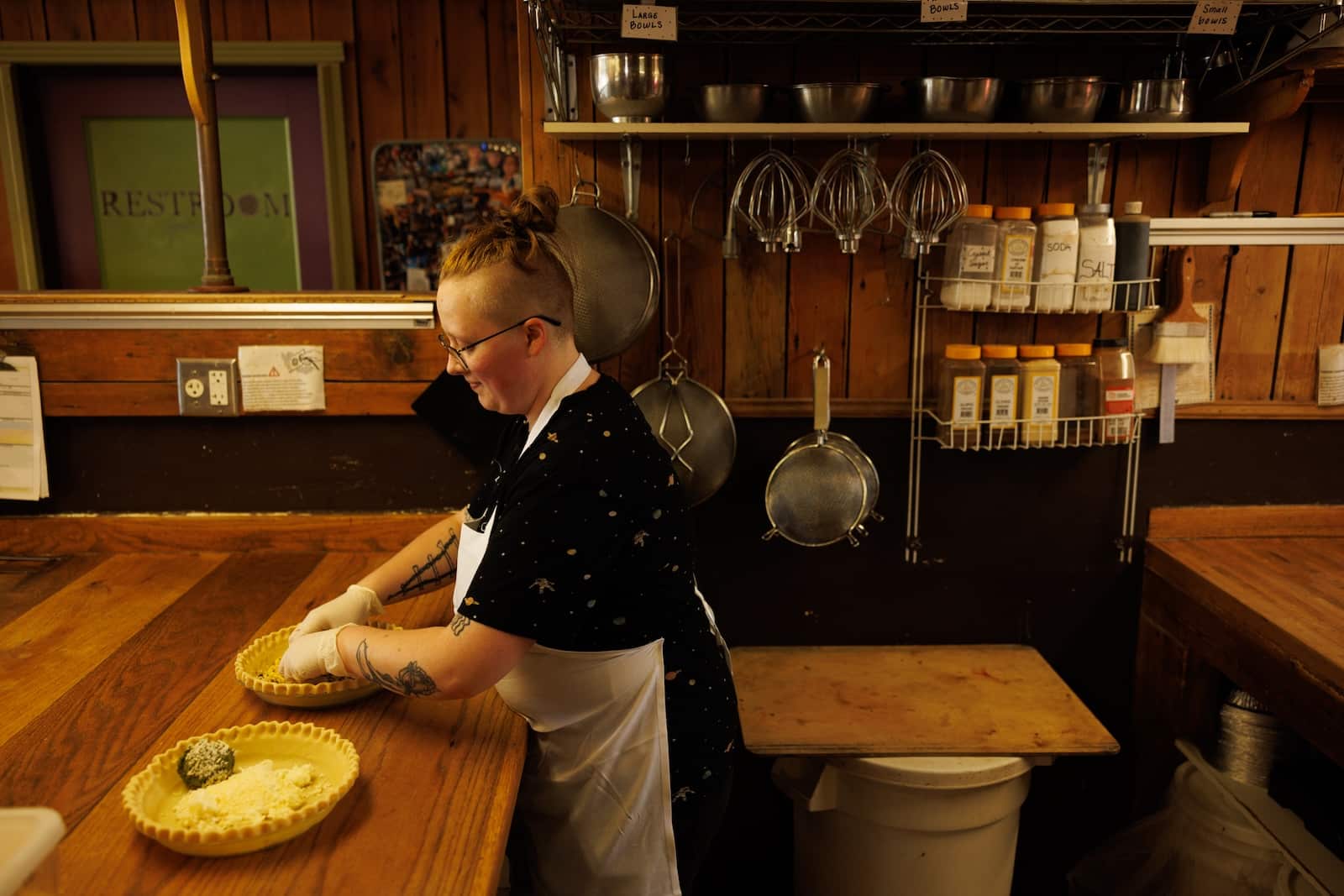
Down Third Street, a recently remodeled Bernice’s Bakery probably has yeast spores dating back more than a century floating around its ovens. Becky Bolinger opened that institution in 1978. While it is sometimes affectionately considered the heart of the Hip Strip, its roots go much deeper. The 1921 Sanborn Map shows Donovan’s Bakery on that site, which was around the corner from the Royal Bakery on Higgins. Le Petit Bakehouse opened in 1998 on 129 South Fourth Street West before moving its ovens way down to 2600 South Third Street West. In June, it moved the retail location again to 529 South Higgins, where the Ideal Bakery was in the 1950s.
For all the kaleidoscopic change characterizing this block for the past 130 years, the smell of bread has never left. Like any treasured sourdough starter, it’s the culture that matters.
Correction: An earlier version of this story misstated the name of John Anderson’s partner in opening Butterfly Herbs. It was Bruce Lee, not Mike Lee.